November 16: Solomon’s Island
We had a nice sail today to Solomon’s Island. We pulled into Zahnhiser’s Marina which is a very nice Marina. Solomon’s island is a nice little seaside community with some shopping nearby. We stayed 2 extra nights here in order to avoid a nasty blow which seem to occur every few days in the Bay.
We had a nice sail today to Solomon’s Island. We pulled into Zahnhiser’s Marina which is a very nice Marina. Solomon’s island is a nice little seaside community with some shopping nearby. We stayed 2 extra nights here in order to avoid a nasty blow which seem to occur every few days in the Bay.
November 19: Deltaville, Portsmouth/Norfolk
We arrived in Deltaville late afternoon and anchored in front of the marina. Our plan was to make it to Portsmouth/Norfolk and the start of the ICW the next day. The forecast for the next day was not good and small craft advisories were posted on the NOAA website. Other boats were staying another night to wait out the choppy conditions.
We arrived in Deltaville late afternoon and anchored in front of the marina. Our plan was to make it to Portsmouth/Norfolk and the start of the ICW the next day. The forecast for the next day was not good and small craft advisories were posted on the NOAA website. Other boats were staying another night to wait out the choppy conditions.
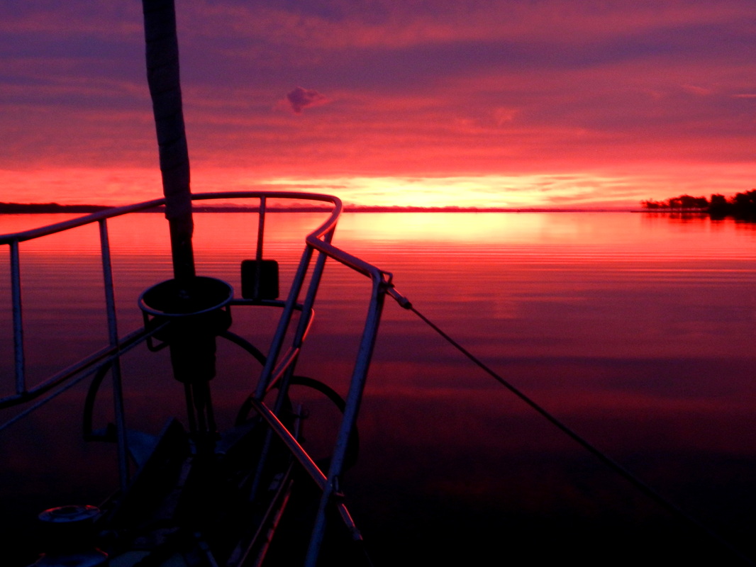
Red sky in morning...
When we awoke the next morning we decided we should be fine if we stick to the leeward shore where the waves will not get a chance to build much. So we set out and had a nice sail on a close reach which led us out into the middle of the bay. This was contrary to our plan but allowed us to sail and also get around some nasty shoals along the western shore. Once out in the middle of the bay we got beat up pretty bad so we rounded the shoal and headed back to the leeward(western) shore. It was much calmer here but we were forced to motor the remainder of the way to Portsmouth. Entering Norfolk harbor is not to be done at night because of all the commercial traffic and lights along shore. We entered the mouth of the harbor around 3:30pm. The wind had piped up to 30kts and there was a foul 1kt current and 2-3 ft square waves on the nose. We barely made 4kts. Once into the harbor we were able to turn to port and sail down the channel to our planned stop for the night, the Scott’s Creek marina.
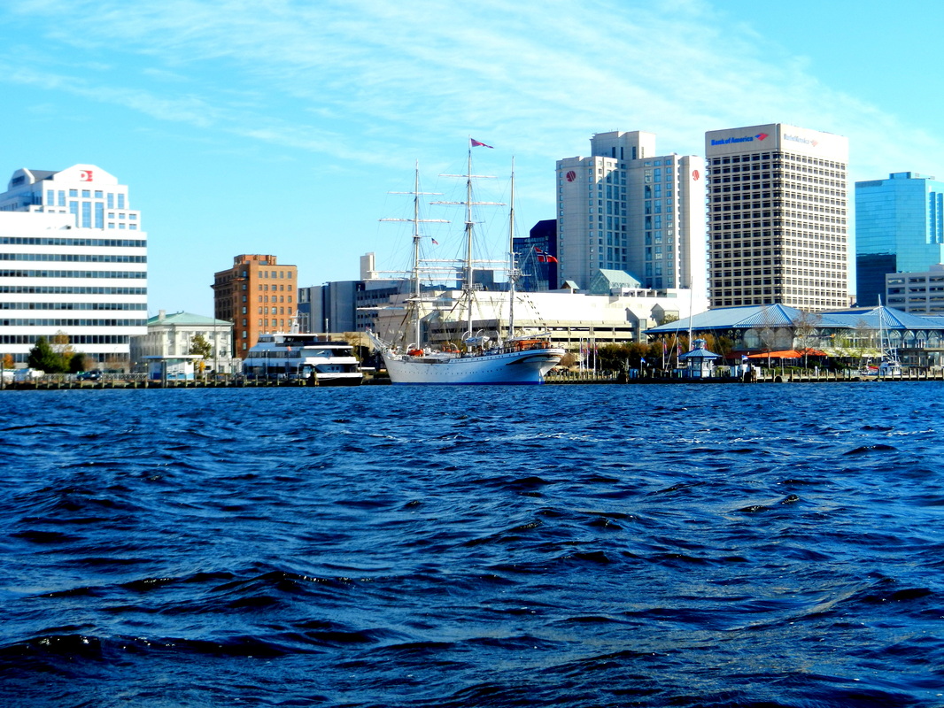
Tall ship in Norfolk
Norfolk and Portsmouth are the home to many naval bases and shipyards. You have to be very careful as all the large military ships require you pass them by at least 500ft. This is a result of the bombing of the USS Cole a few years back. We saw huge destroyers, aircraft carriers and other naval vessels. There are many security boats watching for unusual activity which can include picture taking. Kathy managed to snap a few stealth photos without getting the attention of these boats. Some pleasure boats have been boarded and searched for taking photos.
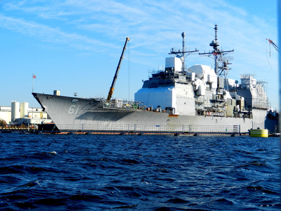
Naval vessel
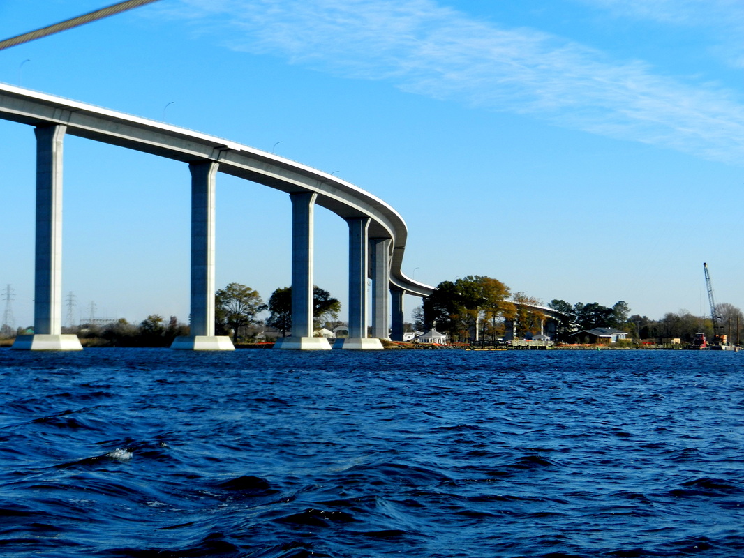
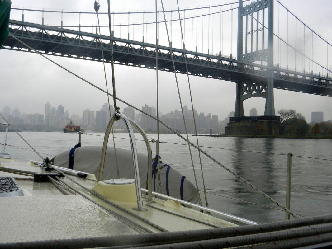
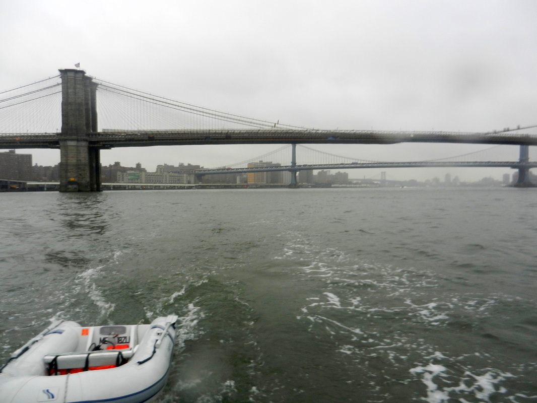
One of many bridges we passed under
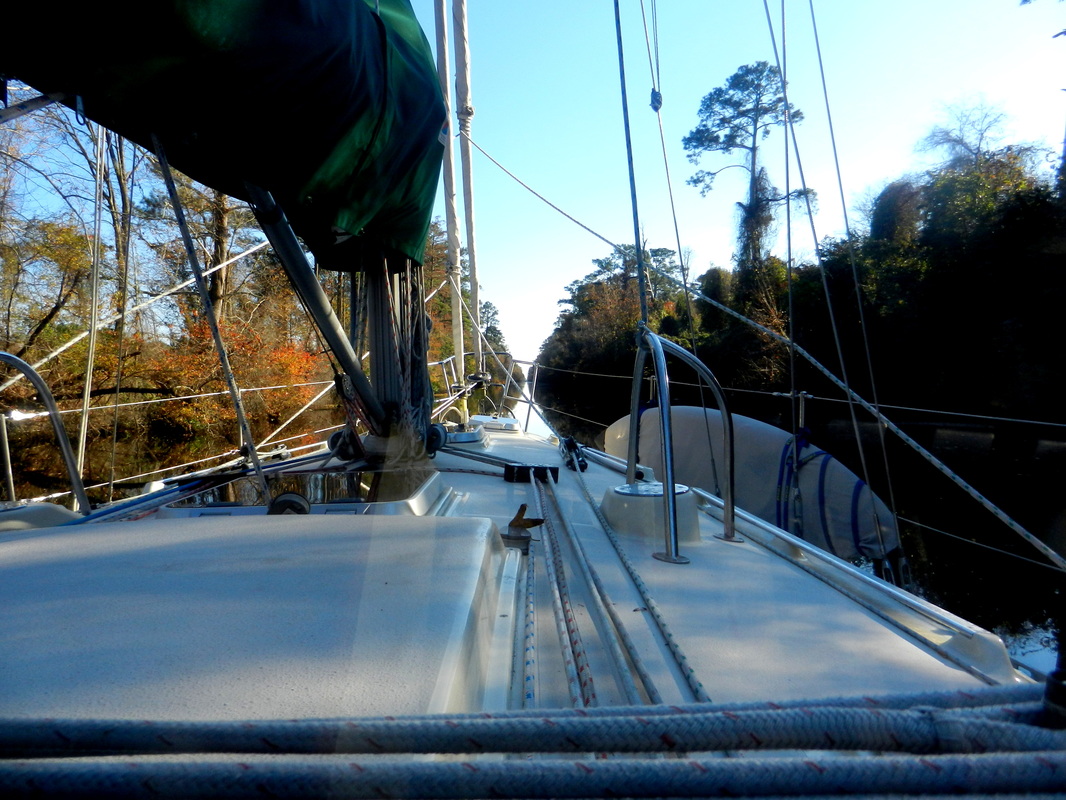
November 20: Dismal Swamp Canal
At this point we needed to decide whether to take the shallower and narrower Dismal Swamp Canal or the Virginia cut of the ICW. They are roughly the same distance but the Dismal swamp is more scenic and interesting. Unfortunately it is also shallower. Our boat draws about 5 ½ feet and the canal is dredged to 6ft. There is no tide but water levels can vary based on weather so we called ahead to the canal office to check the conditions. They confirmed that water levels were normal and we should be fine. We made our way up the Elizabeth River and entered Deep Creek which leads to a lock at the northern end of the canal. We rose 8ft. in this lock and entered the canal. The canal is fed by Lake Drummond which keeps the water level consistent unless there is a severe drought. The lock tenders are very friendly and offer advice and history about the canal. Following is a little history of the canal.
In May 1763, George Washington made his first visit to the Great Dismal Swamp and suggested draining it and digging a north-south canal through it to connect the waters of the Chesapeake Bay in Virginia and Albemarle Sound in North Carolina. As the first president, Washington agreed with Virginia Governor Patrick Henry that canals were the easiest answer for an efficient means of internal transportation and urged their creation and improvement.
In 1784, the Dismal Swamp Canal Company was created. Work was started in 1793. The canal was dug completely by hand; most of the labor was done by slaves hired from nearby landowners. It took approximately 12 years of back-breaking construction under highly unfavorable conditions to complete the 22-mile long waterway, which opened in 1805.[3] At about the time the canal opened, the Dismal Swamp Hotel was built astride the state line on the west bank.[4] It was a popular spot for lover's trysts as well as duels; the winner was rarely arrested as the dead man, as well as the crime, were in another state. As the state line split the main salon, the hotel was quite popular with gamblers who would simply move the game to the opposite side of the room with the arrival of the sheriff from the other jurisdiction. No trace of the hotel can be found today.
Tolls were charged for maintenance and improvements. In 1829, the channel was deepened. The waterway was an important route of commerce in the era before railroads and highways became major transportation modes.
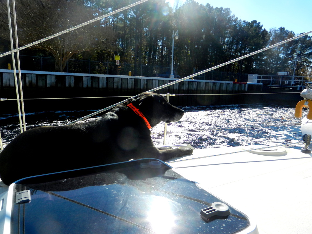
Shamus enjoying the sunshine and waiting for the water to rise in the canal
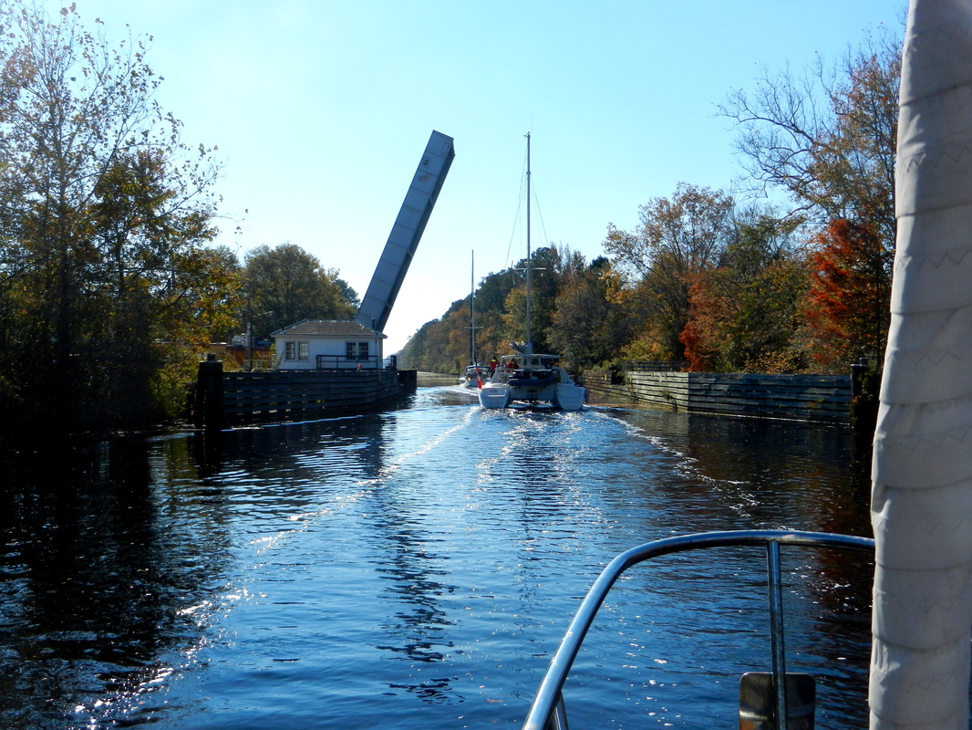
Catamaran Ole in front of us passing under the Deep Creek draw bridge
Dismal Swamp Canal
We spent the night in the canal at the welcome center. They have a dock that fits approximately 3 boats. We pulled in behind a 38ft. Lagoon catamaran sailed by some nice folks from Spain. The welcome center doubles as a rest area and tourist information center along rt. 17. They are very accommodating to visiting boats with 24 hour bathrooms, free wifi, a book swap and cruisers lounge. The entrance to the Dismal Swamp state park is also here and gave us the opportunity to hike some trails with Shamus.
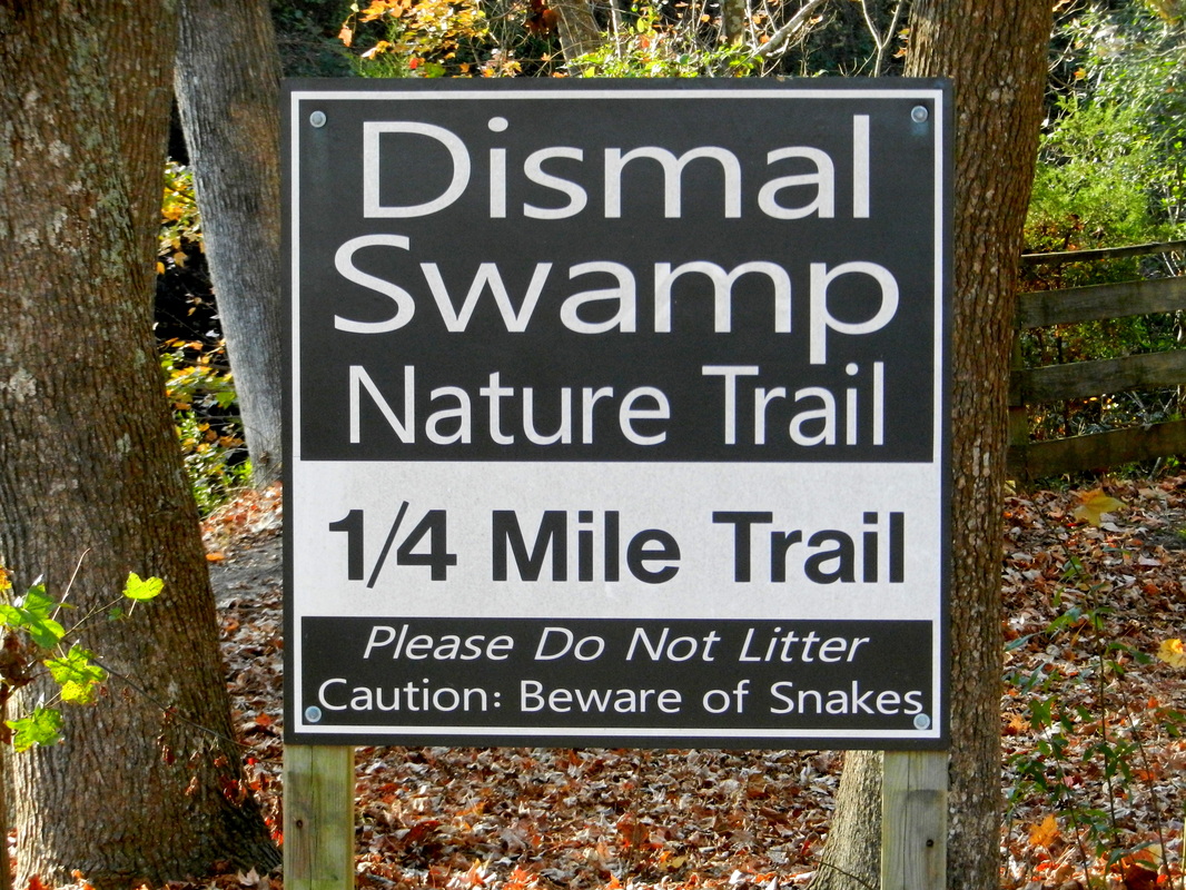
Eeeek! Kathy hates snakes!
November 22: Elizabeth City
In the morning we woke to find 24° temps and frost on the docks. Thank God we have a nice heater. Our goal was to make Elizabeth City, a short ways past the end of the canal. We motored along to the South Mills lock and bridge after bumping some submerged logs along the way. It takes a little time to get used to seeing single digits on the depth sounder for days on end. In Maine we get nervous when the depth falls below 30ft. Around here you are measuring in inches as sometimes we only had a few under our keel. And not only do you need to watch the depth but you have to also look up and make sure you will not hit any tree branches with your mast as many overhang the canal.
Elizabeth City has a nice free dock and are very welcoming to visiting boats. It is amazing how many towns offer free dockage for a night or two. This town, however, felt a little odd as it was Saturday and just about every business in town was closed. One exciting note about Elizabeth City is that we noticed Palmetto bushes growing in the yards. Our first sign of warmer climates to come!
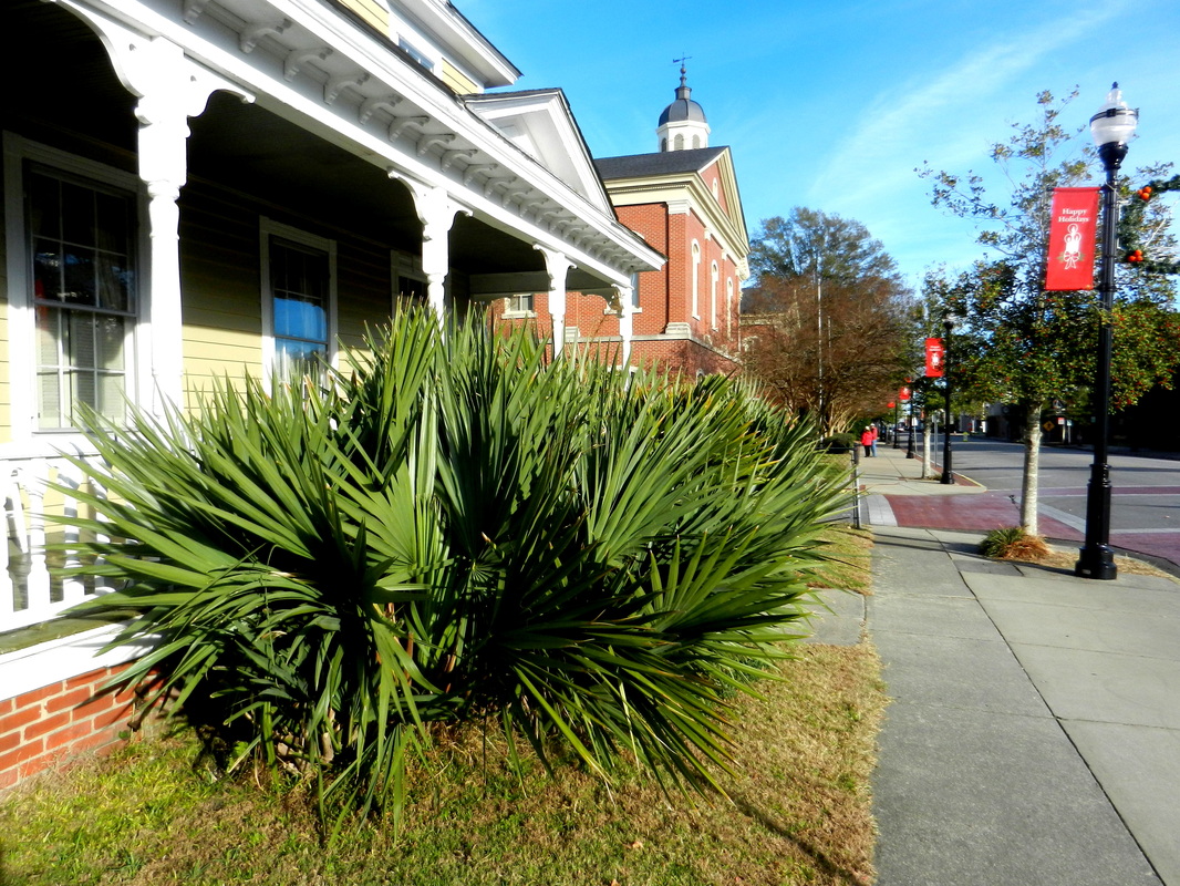
Palmetto in Elizabeth City
November 23: Alligator River
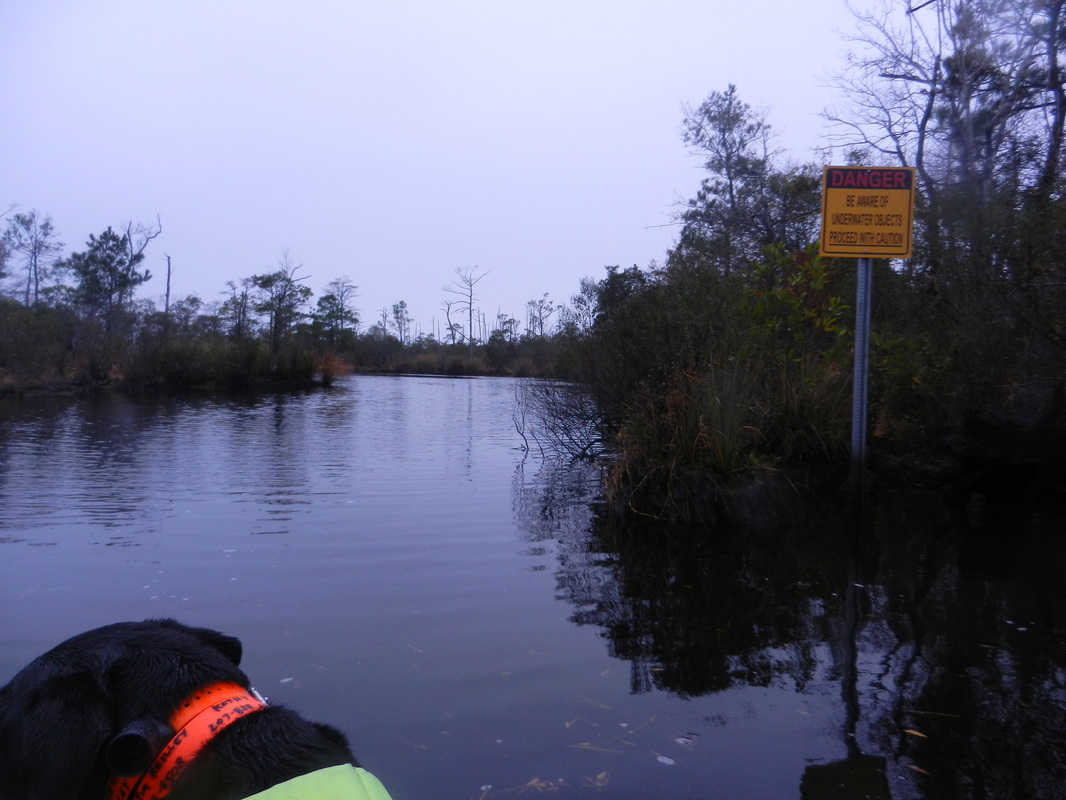
We had a nice calm day to cross Albemarle Sound and run the Alligator River which can get very choppy in high winds from certain directions which was the forecast for the night and following day. Transiting the canals in this weather is usually no problem but the shallow waters of the sounds can be treacherous. If we stayed in Elizabeth city to wait out the Gale we would have lost 2 days. So we had an easy trip across the sound and we poked up into the Alligator River beyond the entrance to the next canal. We found a spot in the river that was about 10ft. deep and in line with the SE winds forecast for the night. We had to take Shamus to shore and this marshy area did not offer any stable landing area or firm ground to walk on. Not to mention the possibilities of Alligators! There was a small boat ramp near the anchorage that was the perfect solution. It was not right on the river but a little ways up a very narrow and shallow stream. I kept picturing all those movies where folks are in a small boat in the swamp and you see all the alligators rushing into the water hoping for an easy meal!
The night turned out to be a little rougher than forecast. We were supposed to get winds 15-20kts which is not terribly bad. Instead we got winds sustained at 30kts and gusting to 40. The worst of this arrived around 2am so I got up and checked on our position to ensure our anchor was not dragging and also monitor the anchor until the winds eased a bit. Our anchor was dug deep in Carolina mud so it never budged! Although very windy with the swamplands offering little protection it did provide us shelter from the waves so the boat swung a little but was otherwise very comfortable.
Narrow stream leading to boat ramp
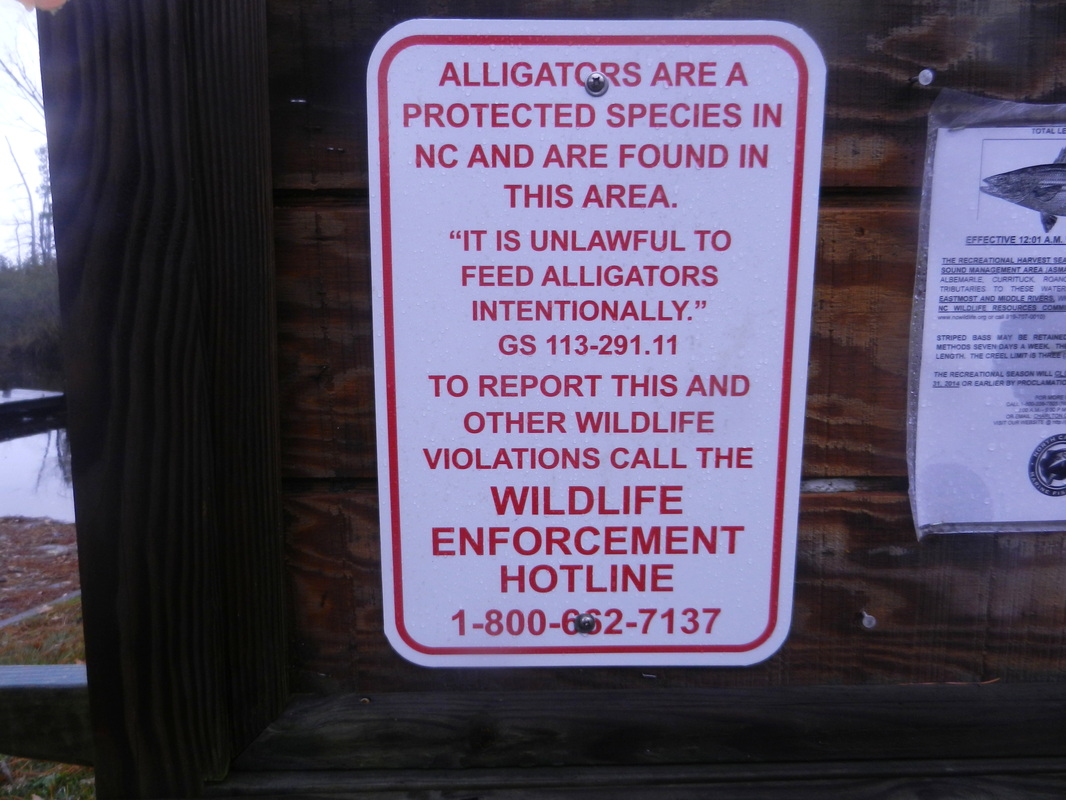
What? Alligators?!?
November 24: Bellhaven
The next canal we needed to transit is the Aliigator-Pungo canal. It is deeper and wider that the Dismal Swamp canal and also very pretty. We pulled into the Dowery Creek Marina at the end of the canal and spent the night. It is a very nice place with a beautiful clubhouse and pool for cruisers. They also have free washers and clean showers. This marina caters mainly to the transients that frequent the ICW during the spring and fall. Every night they host a small cocktail party in the cruiser’s lounge. We attended and chatted with the owners, other cruisers and local live aboards.
The next canal we needed to transit is the Aliigator-Pungo canal. It is deeper and wider that the Dismal Swamp canal and also very pretty. We pulled into the Dowery Creek Marina at the end of the canal and spent the night. It is a very nice place with a beautiful clubhouse and pool for cruisers. They also have free washers and clean showers. This marina caters mainly to the transients that frequent the ICW during the spring and fall. Every night they host a small cocktail party in the cruiser’s lounge. We attended and chatted with the owners, other cruisers and local live aboards.
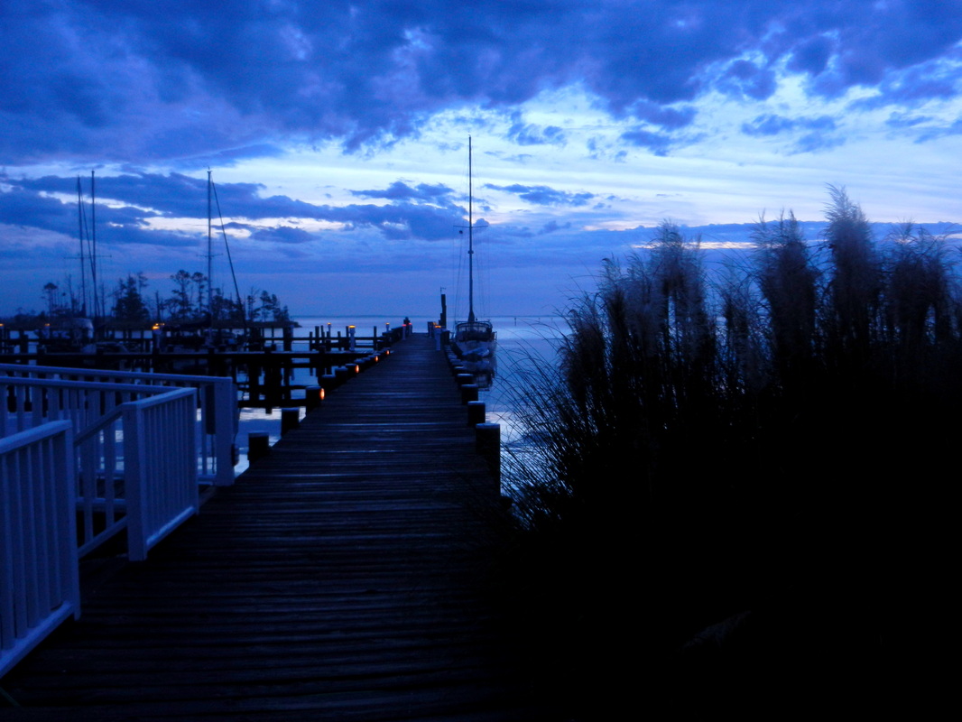
Sunrise in Bellhaven. Sign of a much quieter day